history
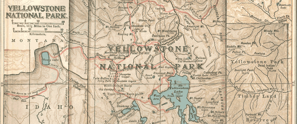
The park is located at the headwaters of the Yellowstone River, from which it takes its historical name. Near the end of the 18th century, French trappers named the river "Roche Jaune", which is probably a translation of the Minnetaree name "Mi tsi a-da-zi" (Rock Yellow River). Later, American trappers rendered the French name in English as "Yellow Stone". Although it is commonly believed that the river was named for the yellow rocks seen in the Grand Canyon of the Yellowstone, the Native American name source is not clear.
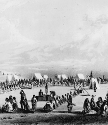
The human history of the park begins at least 11,000 years ago when aboriginal Americans first began to hunt and fish in the region. During the construction of the post office in Gardiner, Montana, in the 1950s, an obsidian projectile point of Clovis origin was found that dated from approximately 11,000 years ago. These Paleo-Indians, of the Clovis culture, used the significant amounts of obsidian found in the park to make cutting tools and weapons. Arrowheads made of Yellowstone obsidian have been found as far away as the Mississippi Valley, indicating that a regular obsidian trade existed between local tribes and tribes farther east. By the time white explorers first entered the region during the Lewis and Clark Expedition in 1805, they encountered the Nez Perce, Crow, and Shoshone tribes. While passing through present day Montana, the expedition members were informed of the Yellowstone region to the south, but they did not investigate it.
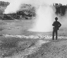
In 1806, John Colter, a member of the Lewis and Clark Expedition, left to join a group of fur trappers. After splitting up with the other trappers in 1807, Colter passed through a portion of what later became the park, during the winter of 1807–1808. He observed at least one geothermal area in the northeastern section of the park, near Tower Fall. After surviving wounds he suffered in a battle with members of the Crow and Blackfoot tribes in 1809, he described a place of "fire and brimstone" that most people dismissed as delirium; the supposedly imaginary place was nicknamed "Colter's Hell". Over the next 40 years, numerous reports from mountain men and trappers told of boiling mud, steaming rivers, and petrified trees, yet most of these reports were believed at the time to be myth.
After an 1856 exploration, mountain man Jim Bridger (also believed to be the first or second European American to have seen the Great Salt Lake) reported observing boiling springs, spouting water, and a mountain of glass and yellow rock. These reports were largely ignored because Bridger was known for being a "spinner of yarns". In 1859, a U.S. Army Surveyor named Captain William F. Raynolds embarked on a two-year survey of the northern Rockies.
